Miles hiked: 15 miles in 8:40
Start: Rainbow Stream Lean-to, ME
Finish: Abol Bridge, west branch of Penobscot River, ME
Elevation gain: 1,526'
While not the day with the least amount of climb, this was probably one of the easiest stretches to hike--pleasantly flat, scenic and often pine needle covered trails.
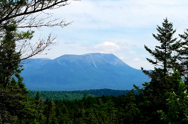
Getting closer and closer.
Yes, the first 'ripe' blueberries that I saw on the AT. However, while looking ripe, they weren't at peak sugar level yet, so they weren't that tasty. This was on the top of Rainbow Ledges, just above treeline with a lot of open rock areas, so it gets more sun than most areas.
Now we are getting close enough to make Katahdin look like a big mountain, which it is. :-)
I'm now out of the 100-mile wilderness. This is what the SoBo hikers see as they enter it.
View from Abol Bridge. We stayed at the Abol Bridge Campground for the evening, just to the right in this photo.
Route from my Suunto.
Route from my Suunto.


No comments:
Post a Comment